The tall limestone cliffs and turquoise water of the Bruce Peninsula provide a variety of recreational opportunities for residents and visitors alike. Credit: Scott Parker
Sharing information on Best Management Practices is an important part of collaboration between the individuals, communities, watershed groups and governmental agencies at work for Lake Huron. Credit: BPBA
Exposed limestone bluffs at Cave Point, Bruce Peninsula.
Rocky islands of eastern Georgian Bay. Photo credit: Ellen Perschbacher
Southern Ontario agriculture along Lake Huron’s southeast shore. Credit: Daniel Holm Photography
Sand beach and dune complexes are found along the southeastern shores, such as those pictured here near Pinery Provincial Park. Credit: Daniel Holm Photography
Lake Huron waters support a thriving agricultural sector, particularly in the southeastern portion of the watershed. Credit: Daniel Holm Photography
Volunteers engaged in stream restoration efforts in a Lake Huron tributary. Photo credit: MSIA
Rocky islands of eastern Georgian Bay. Photo credit: Ellen Perschbacher
The St. Marys River flows from Lake Superior to Lake Huron, contributing 8 billion liters/hour to the receiving basin in Lake Huron. Photo credit: Mark Chambers

Prairie Point Wetland Protection in Wiikwemkoong Unceded Territory

<< Back to project list

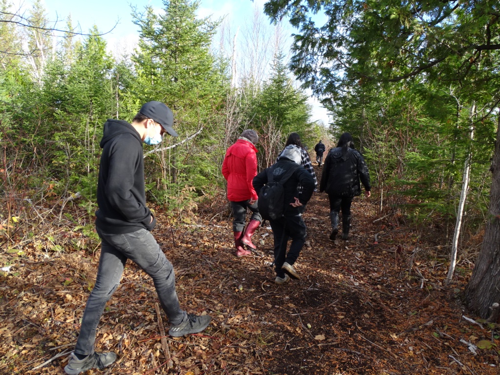
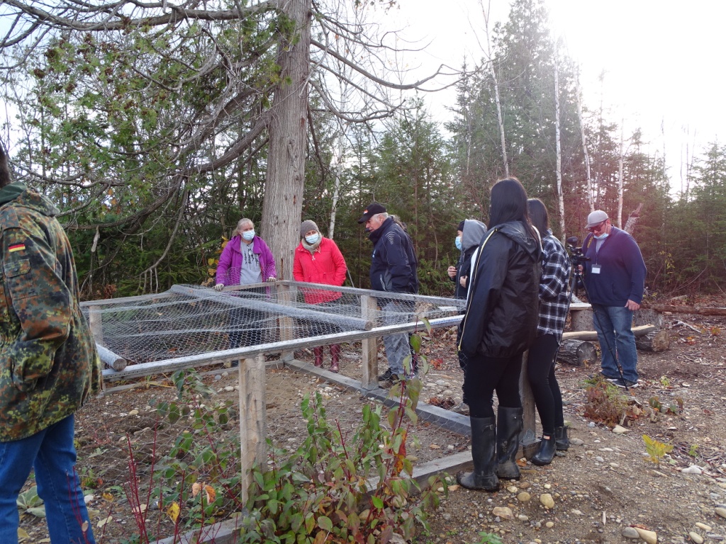
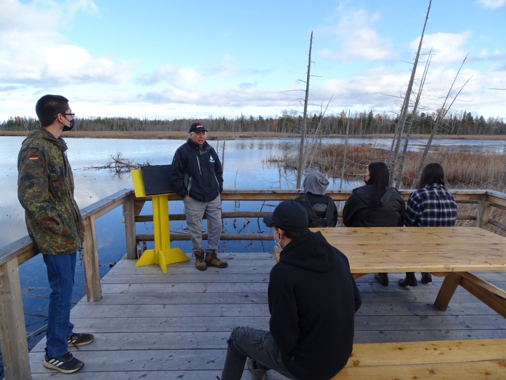
During the fall of 2021, Manitoulin Streams partnered with Wiikwemkoong Unceded Territory to protect Prairie Point wetland through creation of educational trails to control human access and prevent harm to shoreline banks along the community wetland. A trail system will reduce erosion of shoreline and habitat destruction, protecting the land for Species at Risk, safeguard aquatic ecosystems, improve the wetland hydrological function and aquatic and terrestrial wildlife. 100 trees were planted with students from Wiikwemkoong High School as part of a reintroduction program to stabilize riparian areas and preserve biodiversity. Installment of educational signs pertaining to wetland function, significant features and species (native species & SAR) in both Anishinaabe and English language were created and will be installed this spring. The trails and signage will provide relevant educational teaching opportunities for local schools, groups, tourists and people of all ages.

Nearest city or town: Wikwemikong, ON
Project start date: September 30, 2021
End date: March 31, 2022

Project focus: Combination of Education, Restoration, and Monitoring
Project contact: Seija Deschenes

Visit Project Website

Back to the Project List Share Your Project