The tall limestone cliffs and turquoise water of the Bruce Peninsula provide a variety of recreational opportunities for residents and visitors alike. Credit: Scott Parker
Sharing information on Best Management Practices is an important part of collaboration between the individuals, communities, watershed groups and governmental agencies at work for Lake Huron. Credit: BPBA
Exposed limestone bluffs at Cave Point, Bruce Peninsula.
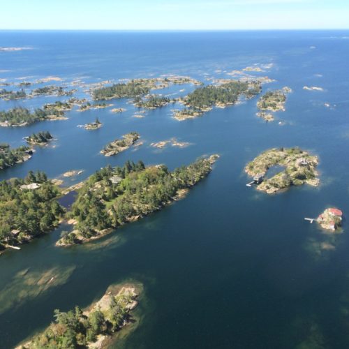
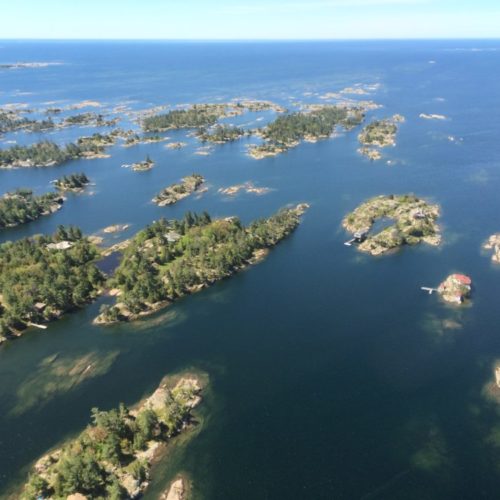
Rocky islands of eastern Georgian Bay. Photo credit: Ellen Perschbacher
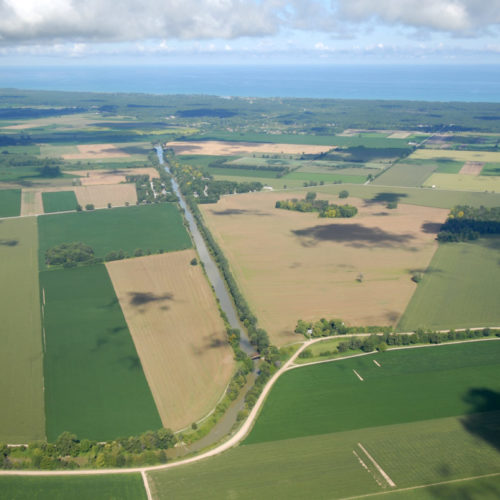
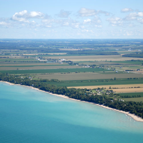
Southern Ontario agriculture along Lake Huron’s southeast shore. Credit: Daniel Holm Photography
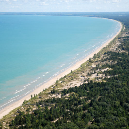
Sand beach and dune complexes are found along the southeastern shores, such as those pictured here near Pinery Provincial Park. Credit: Daniel Holm Photography
Lake Huron waters support a thriving agricultural sector, particularly in the southeastern portion of the watershed. Credit: Daniel Holm Photography
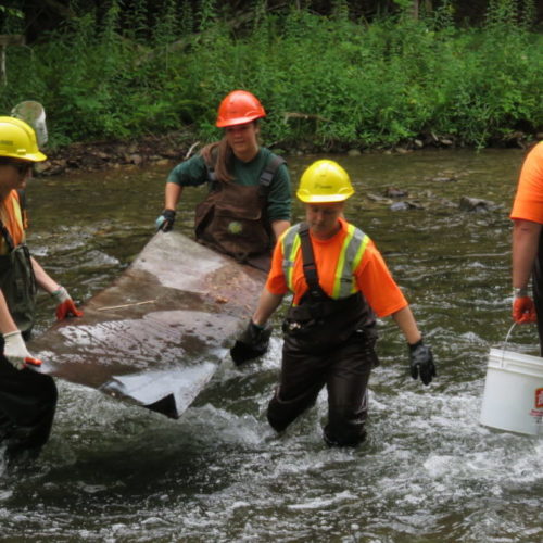
Volunteers engaged in stream restoration efforts in a Lake Huron tributary. Photo credit: MSIA
Rocky islands of eastern Georgian Bay. Photo credit: Ellen Perschbacher
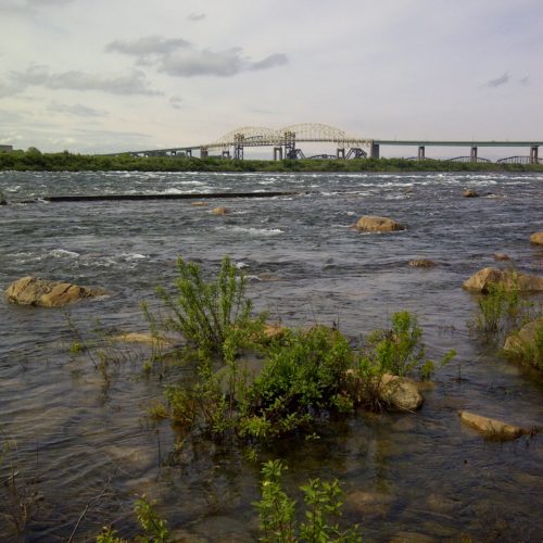
The St. Marys River flows from Lake Superior to Lake Huron, contributing 8 billion liters/hour to the receiving basin in Lake Huron. Photo credit: Mark Chambers

Maitland Valley Conservation Authority Completes Watershed Planning Process for Eighteen Mile Creek

<< Back to project list

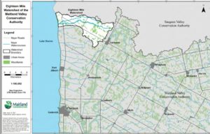
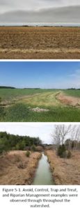
Using lessons learned from previous Soil Water Environmental Enhancement Plans (SWEEP) for the Garvey-Glen subwatershed, GIS analysis was undertaken for Eighteen Mile Creek to collect baseline data including soils, topography and land use, identify current issues, and understand landowner priorities. Long term goals for this project include keeping sediments and nutrients on the land and out of the watercourse by working with local input and landowner champions to implement on farm best management practices (BMPs). As part of this planning process MVCA, in partnership with a local landowner, undertook a profitability mapping study to help MVCA staff better understand the complexities of farm level decision making and the implications of land use changes. This project will help guide the continuing efforts in the Eighteen Mile Creek watershed and will help MVCA expand their efforts to all near shore tributaries draining directly to Lake Huron in support of Healthy Lake Huron efforts.

Nearest city or town: Lucknow
Project start date: January 11, 2021
End date: December 31, 2021

Project focus: Monitoring / Research
Project contact: Chris Van Esbroeck

Visit Project Website

Back to the Project List Share Your Project