


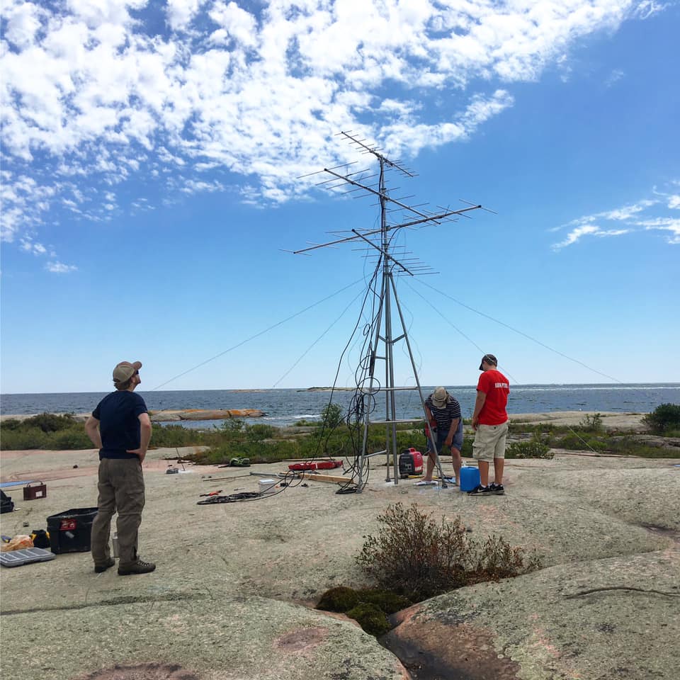
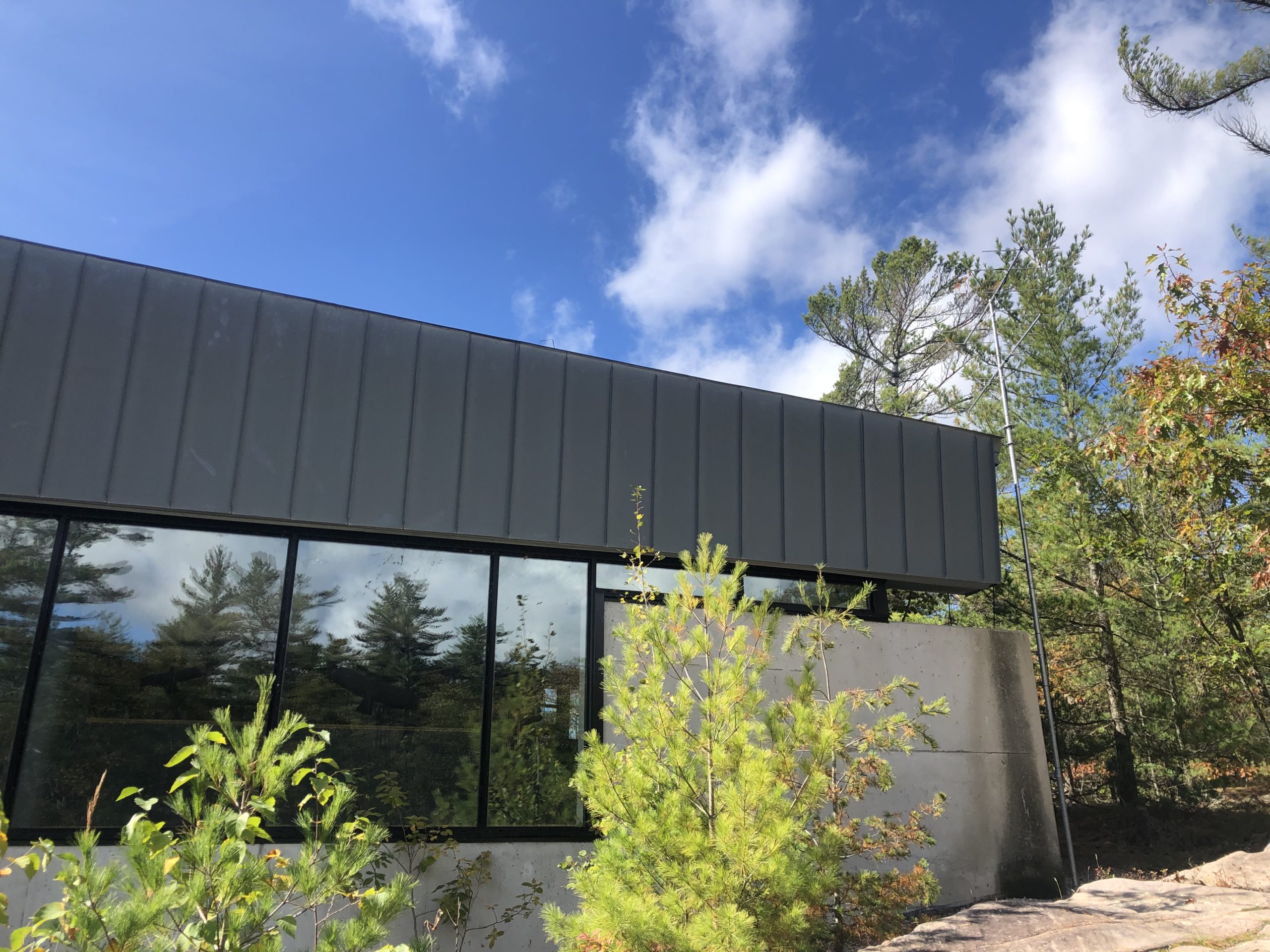
The MOTUS Wildlife Tracking System is a collaborative research network across the Western Hemisphere. This system uses a coordinated automated radio telemetry array to track movements of tagged small flying fauna including birds, bats, and large insects. Both small and large scale movements across landscapes are tracked which can greatly inform the local understanding of flying SAR by determining the size of local populations, identifying critical habitat and migration paths, and tracking the impacts of local threats. With partners Shawanaga First Nation, Magnetawan First Nation, Georgian Bay Land Trust, Ontario Parks, and Birds Canada we have placed an additional 7 towers along the eastern Georgian Bay coast. Data generated through this partnership will be used to inform regional conservation research, plans, and priorities going forward.
Nearest city or town: Parry Sound
Project start date: January 1, 2020
Project focus: Monitoring / Research
Project contact: Tianna Burke