The tall limestone cliffs and turquoise water of the Bruce Peninsula provide a variety of recreational opportunities for residents and visitors alike. Credit: Scott Parker
Sharing information on Best Management Practices is an important part of collaboration between the individuals, communities, watershed groups and governmental agencies at work for Lake Huron. Credit: BPBA
Exposed limestone bluffs at Cave Point, Bruce Peninsula.
Rocky islands of eastern Georgian Bay. Photo credit: Ellen Perschbacher
Southern Ontario agriculture along Lake Huron’s southeast shore. Credit: Daniel Holm Photography
Sand beach and dune complexes are found along the southeastern shores, such as those pictured here near Pinery Provincial Park. Credit: Daniel Holm Photography
Lake Huron waters support a thriving agricultural sector, particularly in the southeastern portion of the watershed. Credit: Daniel Holm Photography
Volunteers engaged in stream restoration efforts in a Lake Huron tributary. Photo credit: MSIA
Rocky islands of eastern Georgian Bay. Photo credit: Ellen Perschbacher
The St. Marys River flows from Lake Superior to Lake Huron, contributing 8 billion liters/hour to the receiving basin in Lake Huron. Photo credit: Mark Chambers

Severn Sound Monitoring and Citizen Science Pilot Project

<< Back to project list

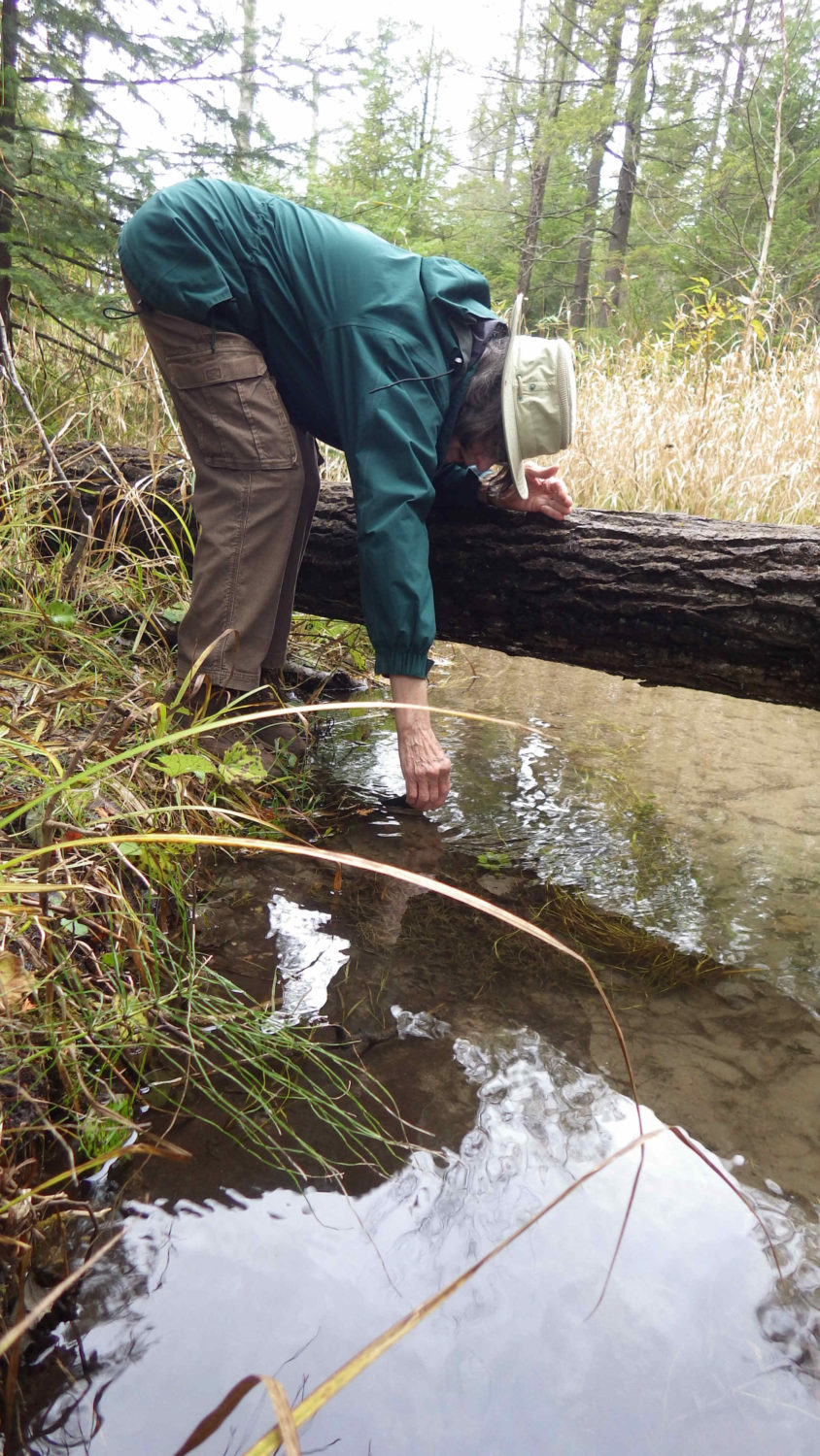
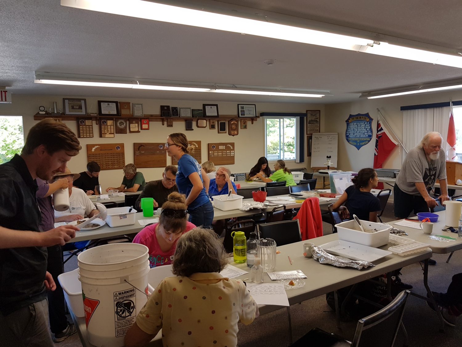
The purpose of this project is to protect Severn Sound and its watershed through monitoring involving both citizen scientists and established sampling programs. Goals include engaging volunteers, expanding the reach of SSEA monitoring, and providing information on ecosystem health. SSEA’s 2017 Open Water Monitoring program was carried out, marking 45 years of data collection in many locations. SSEA partnered with the Copeland Forest Friends to pilot a Citizen Science program using the SSEA Community Environmental Monitoring kit, designed to be loaned to community groups interested in collecting tributary water quality and temperature data. SSEA was also able to expand the number of stream locations sampled for benthos in 2017 using citizen science volunteers on a benthos bioblitz day. Finally, SSEA continued a program to engage shoreline owners in observing ice conditions on their local water body, data which is used to track trends in ice on/off date as an indicator of climate change.

Nearest city or town: Severn Sound open waters and surrounding watershed
Project start date: May 1, 2017

Project focus: Education
Project contact: Aisha Chiandet

Visit Project Website

Back to the Project List Share Your Project