The tall limestone cliffs and turquoise water of the Bruce Peninsula provide a variety of recreational opportunities for residents and visitors alike. Credit: Scott Parker
Sharing information on Best Management Practices is an important part of collaboration between the individuals, communities, watershed groups and governmental agencies at work for Lake Huron. Credit: BPBA
Exposed limestone bluffs at Cave Point, Bruce Peninsula.
Rocky islands of eastern Georgian Bay. Photo credit: Ellen Perschbacher
Southern Ontario agriculture along Lake Huron’s southeast shore. Credit: Daniel Holm Photography
Sand beach and dune complexes are found along the southeastern shores, such as those pictured here near Pinery Provincial Park. Credit: Daniel Holm Photography
Lake Huron waters support a thriving agricultural sector, particularly in the southeastern portion of the watershed. Credit: Daniel Holm Photography
Volunteers engaged in stream restoration efforts in a Lake Huron tributary. Photo credit: MSIA
Rocky islands of eastern Georgian Bay. Photo credit: Ellen Perschbacher
The St. Marys River flows from Lake Superior to Lake Huron, contributing 8 billion liters/hour to the receiving basin in Lake Huron. Photo credit: Mark Chambers

Nearshore Workshop for South East Shore

<< Back to project list

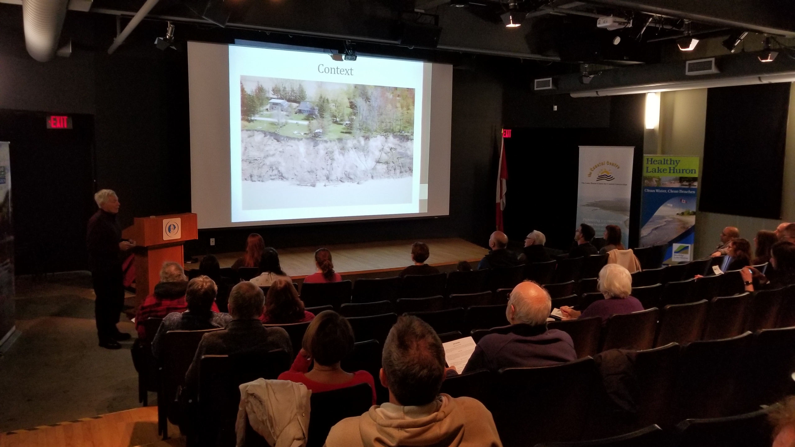
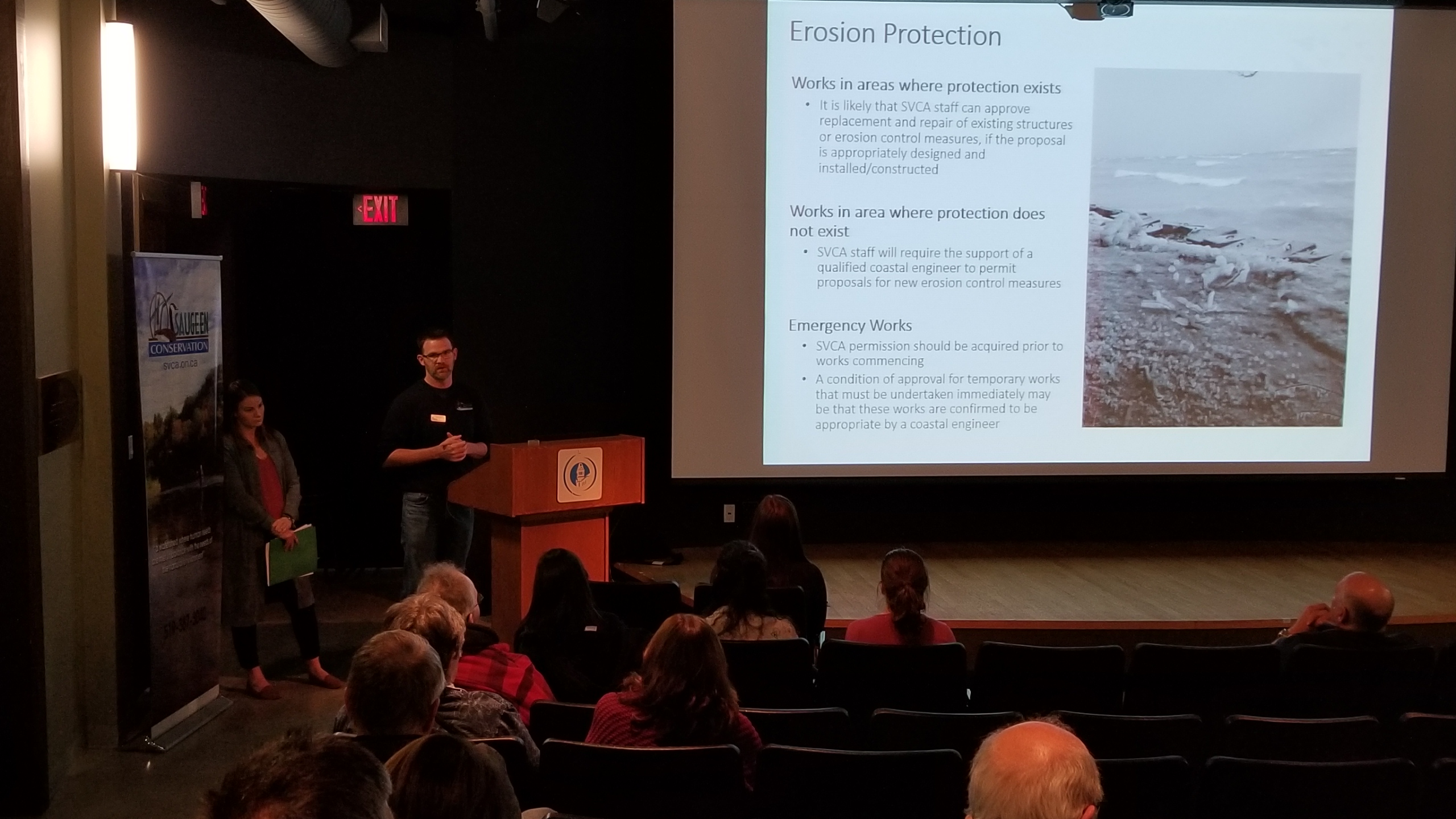
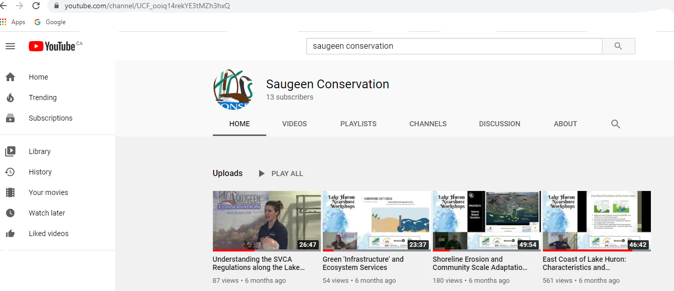
Saugeen Conservation was thrilled to host TWO very informative workshops in our watershed relating to the Lake Huron coastline. Speakers include Robin Davidson Arnott, renowned Coastal Geomorphologist, Peter Zuzek, Coastal Engineer, Hannah Cann, Coastal Stewardship Coordinator for the LHCCC and Conservation Authority Environmental Planning and Regulations staff from both Saugeen Valley-Erik Downing and Grey Sauble-Andy Sorensen Conservation Authorities. The workshop provided vital shoreline information to over 80 people present at the Kincardine and Southampton venues as well as 30 online and continuing. The workshops were posted onto YouTube-875 views. We know that our changing climate has also lead to problems along the shoreline such as the high lake levels with landowners being reactive to improperly placing material to try and protect shorelines. Sharing of information so that residents understand the value of the natural shoreline and risk to improper changes.

Nearest city or town: Municipality of Kincardine
Project start date: February 1, 2020
End date: February 20, 2021

Project focus: Education / Outreach
Project contact: Jo-Anne Harbinson, Manager Water Resources and Stewardship Services

Visit Project Website

Back to the Project List Share Your Project