The tall limestone cliffs and turquoise water of the Bruce Peninsula provide a variety of recreational opportunities for residents and visitors alike. Credit: Scott Parker
Sharing information on Best Management Practices is an important part of collaboration between the individuals, communities, watershed groups and governmental agencies at work for Lake Huron. Credit: BPBA
Exposed limestone bluffs at Cave Point, Bruce Peninsula.
Rocky islands of eastern Georgian Bay. Photo credit: Ellen Perschbacher
Southern Ontario agriculture along Lake Huron’s southeast shore. Credit: Daniel Holm Photography
Sand beach and dune complexes are found along the southeastern shores, such as those pictured here near Pinery Provincial Park. Credit: Daniel Holm Photography
Lake Huron waters support a thriving agricultural sector, particularly in the southeastern portion of the watershed. Credit: Daniel Holm Photography
Volunteers engaged in stream restoration efforts in a Lake Huron tributary. Photo credit: MSIA
Rocky islands of eastern Georgian Bay. Photo credit: Ellen Perschbacher
The St. Marys River flows from Lake Superior to Lake Huron, contributing 8 billion liters/hour to the receiving basin in Lake Huron. Photo credit: Mark Chambers

Monitoring Roads for Reptile Mortality Hotspots – CNPP

<< Back to project list

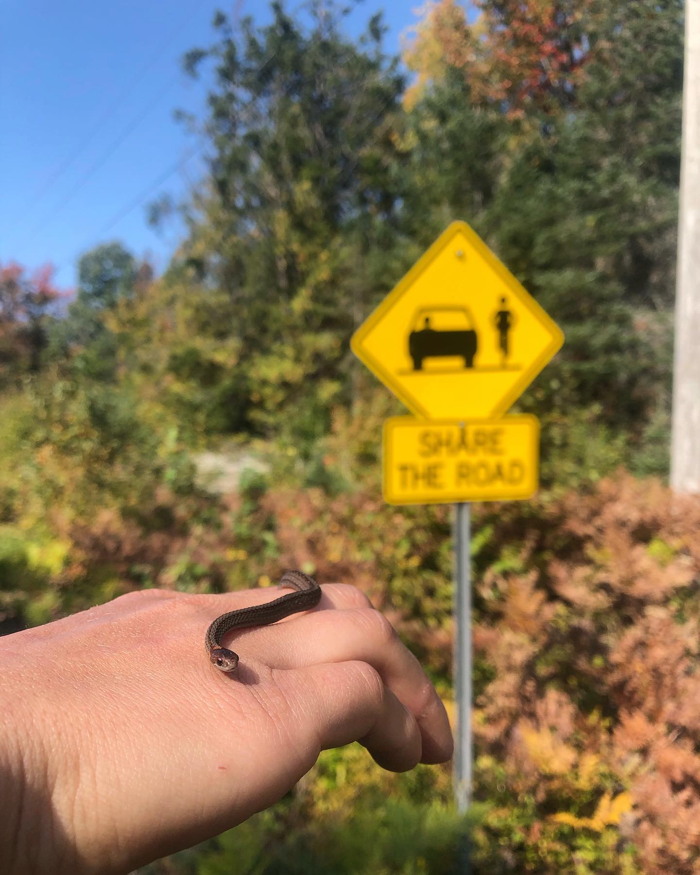
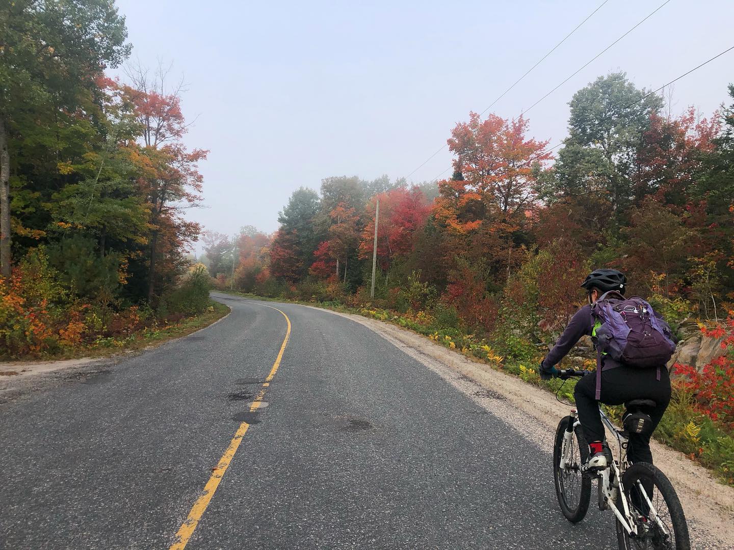
One of the largest threats to all wildlife, especially reptiles-at-risk, is road mortality. Through the Community Nominated Priority Places (CNPP) project, a significant amount of time and resources are being devoted to road-focused projects by Biosphere staff and co-applicants Shawanaga First Nation, Magnetawan First Nation, and Georgian Bay Land Trust. During the 2020 field season, priority roads included Skerryvore Community Road, Highway 559, and Highway 529 which were surveyed by bicycle multiple times per week. Road surveys throughout the summer and fall have recorded all snake and turtle observations, that are both alive on road and dead on road. This information may identify wildlife crossing hotspots and inform future mitigation ideas along these roadways.

Nearest city or town: Parry Sound
Project start date: June 1, 2020

Project focus: Monitoring / Research
Project contact: Tianna Burke

Visit Project Website

Back to the Project List Share Your Project