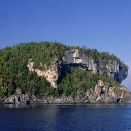
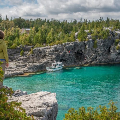
The tall limestone cliffs and turquoise water of the Bruce Peninsula provide a variety of recreational opportunities for residents and visitors alike. Credit: Scott Parker
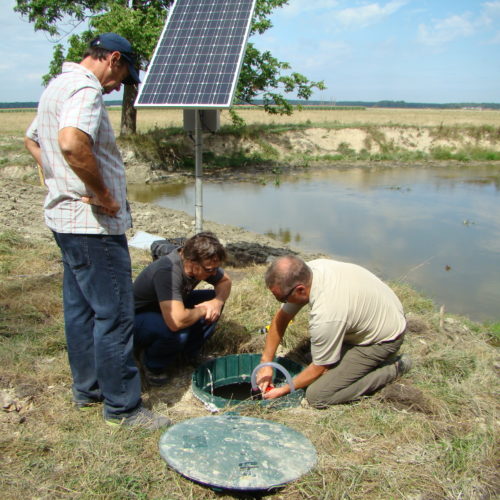
Sharing information on Best Management Practices is an important part of collaboration between the individuals, communities, watershed groups and governmental agencies at work for Lake Huron. Credit: BPBA
Exposed limestone bluffs at Cave Point, Bruce Peninsula.
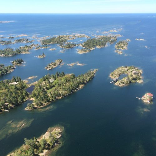
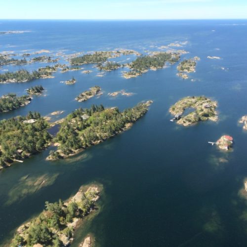
Rocky islands of eastern Georgian Bay. Photo credit: Ellen Perschbacher
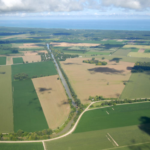
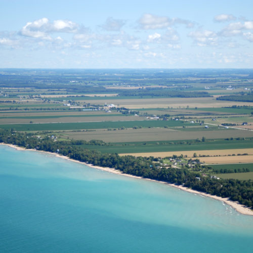
Southern Ontario agriculture along Lake Huron’s southeast shore. Credit: Daniel Holm Photography
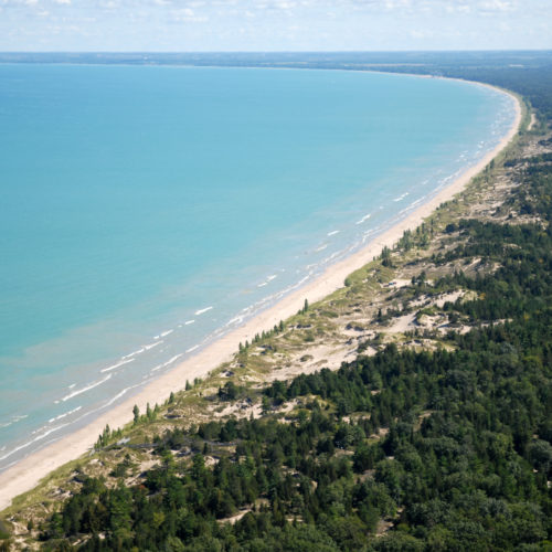
Sand beach and dune complexes are found along the southeastern shores, such as those pictured here near Pinery Provincial Park. Credit: Daniel Holm Photography
Lake Huron waters support a thriving agricultural sector, particularly in the southeastern portion of the watershed. Credit: Daniel Holm Photography
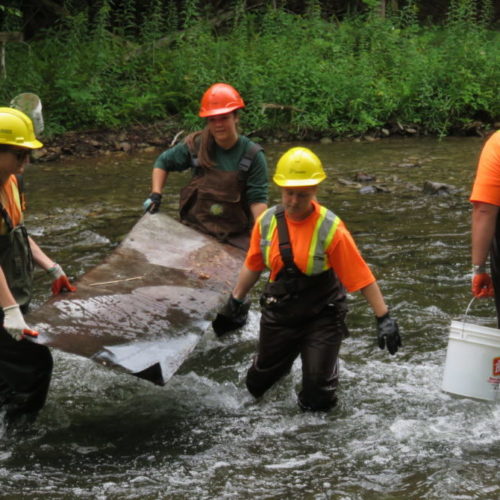
Volunteers engaged in stream restoration efforts in a Lake Huron tributary. Photo credit: MSIA
Rocky islands of eastern Georgian Bay. Photo credit: Ellen Perschbacher
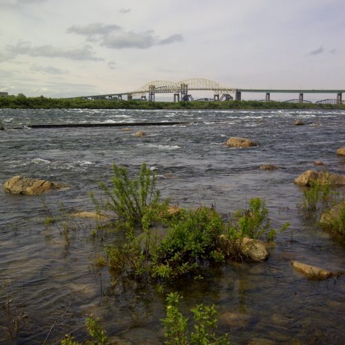
The St. Marys River flows from Lake Superior to Lake Huron, contributing 8 billion liters/hour to the receiving basin in Lake Huron. Photo credit: Mark Chambers

Huronview Demonstration Farm

<< Back to project list

To understand how tile drainage systems can improve soil and water quality, this project will install and monitor two contour drainage systems in a side-by-side, comparison at the Huronview Demonstration farm. Contoured drainage systems have potential to mitigate soil erosion and water quality issues because contoured swales run perpendicular to a slope to intercept surface water. Transporting water ‘sideways’ on contours through graded ditches or tiles can stop or slow down water to reduce erosion potential in the field and downstream. This project will demonstrate a contoured subsurface drainage system, in which the water levels in contoured tile laterals can be adjusted with control gates. In a another area, a pattern tile system will be installed with contoured swales overlaid to redirect surface water across the slope to a temporary ponding area and rising inlet structure. Various swales sizes, control structures and tile innovations will be trialed and demonstrated.

Nearest city or town: Clinton, ON
Project start date: April 1, 2018
End date: December 31, 2020

Project focus: Education
Project contact: Mari Veliz, Ausable Bayfield Conservation
Back to the Project List Share Your Project