The tall limestone cliffs and turquoise water of the Bruce Peninsula provide a variety of recreational opportunities for residents and visitors alike. Credit: Scott Parker
Sharing information on Best Management Practices is an important part of collaboration between the individuals, communities, watershed groups and governmental agencies at work for Lake Huron. Credit: BPBA
Exposed limestone bluffs at Cave Point, Bruce Peninsula.
Rocky islands of eastern Georgian Bay. Photo credit: Ellen Perschbacher
Southern Ontario agriculture along Lake Huron’s southeast shore. Credit: Daniel Holm Photography
Sand beach and dune complexes are found along the southeastern shores, such as those pictured here near Pinery Provincial Park. Credit: Daniel Holm Photography
Lake Huron waters support a thriving agricultural sector, particularly in the southeastern portion of the watershed. Credit: Daniel Holm Photography
Volunteers engaged in stream restoration efforts in a Lake Huron tributary. Photo credit: MSIA
Rocky islands of eastern Georgian Bay. Photo credit: Ellen Perschbacher
The St. Marys River flows from Lake Superior to Lake Huron, contributing 8 billion liters/hour to the receiving basin in Lake Huron. Photo credit: Mark Chambers

Grimesthorpe Creek S17, S18, S18 Riparian Restoration

<< Back to project list

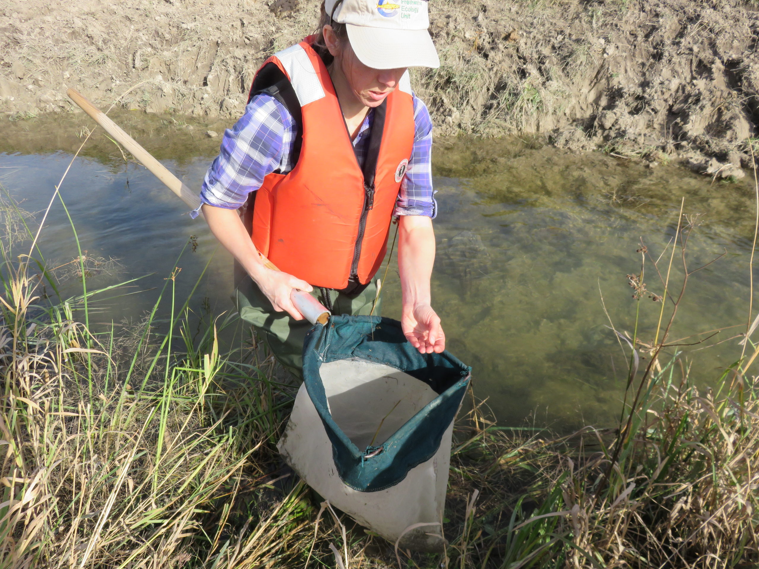
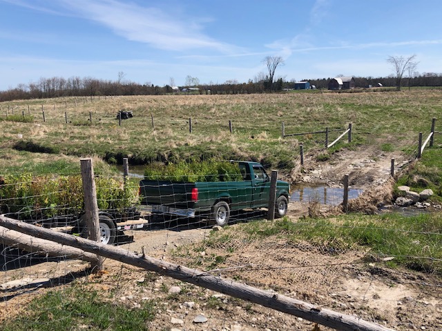
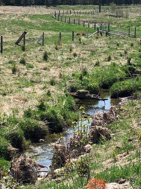
The Grimesthorpe Creek Reach 29 Sites S17, S18 and S19 were ranked as medium priority sites. Environmental issues included: unrestricted livestock access with no designated livestock crossing or watering area, degraded water quality due to nutrient loading, bank erosion due to livestock access and lack of native trees and shrubs. The threat indicators include pollution, habitat loss and climate change impacts. Unrestricted livestock access damaged the watershed by trampling of stream banks, loss of bank stability discharging sediment, degradation of brook trout spawning habitat, overgrazing the riparian area, nutrient loading causing algal blooms and elevated stream water temperatures. Our project controlled 250+ cattle accessing the creek, rehabilitated (393m) of stream bank, rehabilitated (590m2) of in-stream habitat, improved (9150m2) riparian habitat by planting 3749 trees/shrubs and aquatic data was collected by Laurentian University and College Boreal.

Nearest city or town: Spring Bay, ON
Project start date: May 20, 2020
End date: June 10, 2020

Project focus: Combination of Education, Restoration, and Monitoring
Project contact: Seija Deschenes

Visit Project Website

Back to the Project List Share Your Project