The tall limestone cliffs and turquoise water of the Bruce Peninsula provide a variety of recreational opportunities for residents and visitors alike. Credit: Scott Parker
Sharing information on Best Management Practices is an important part of collaboration between the individuals, communities, watershed groups and governmental agencies at work for Lake Huron. Credit: BPBA
Exposed limestone bluffs at Cave Point, Bruce Peninsula.
Rocky islands of eastern Georgian Bay. Photo credit: Ellen Perschbacher
Southern Ontario agriculture along Lake Huron’s southeast shore. Credit: Daniel Holm Photography
Sand beach and dune complexes are found along the southeastern shores, such as those pictured here near Pinery Provincial Park. Credit: Daniel Holm Photography
Lake Huron waters support a thriving agricultural sector, particularly in the southeastern portion of the watershed. Credit: Daniel Holm Photography
Volunteers engaged in stream restoration efforts in a Lake Huron tributary. Photo credit: MSIA
Rocky islands of eastern Georgian Bay. Photo credit: Ellen Perschbacher
The St. Marys River flows from Lake Superior to Lake Huron, contributing 8 billion liters/hour to the receiving basin in Lake Huron. Photo credit: Mark Chambers

Citizen Science Shore Watch and Severn Sound Lower Food Web Conditions

<< Back to project list

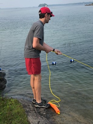
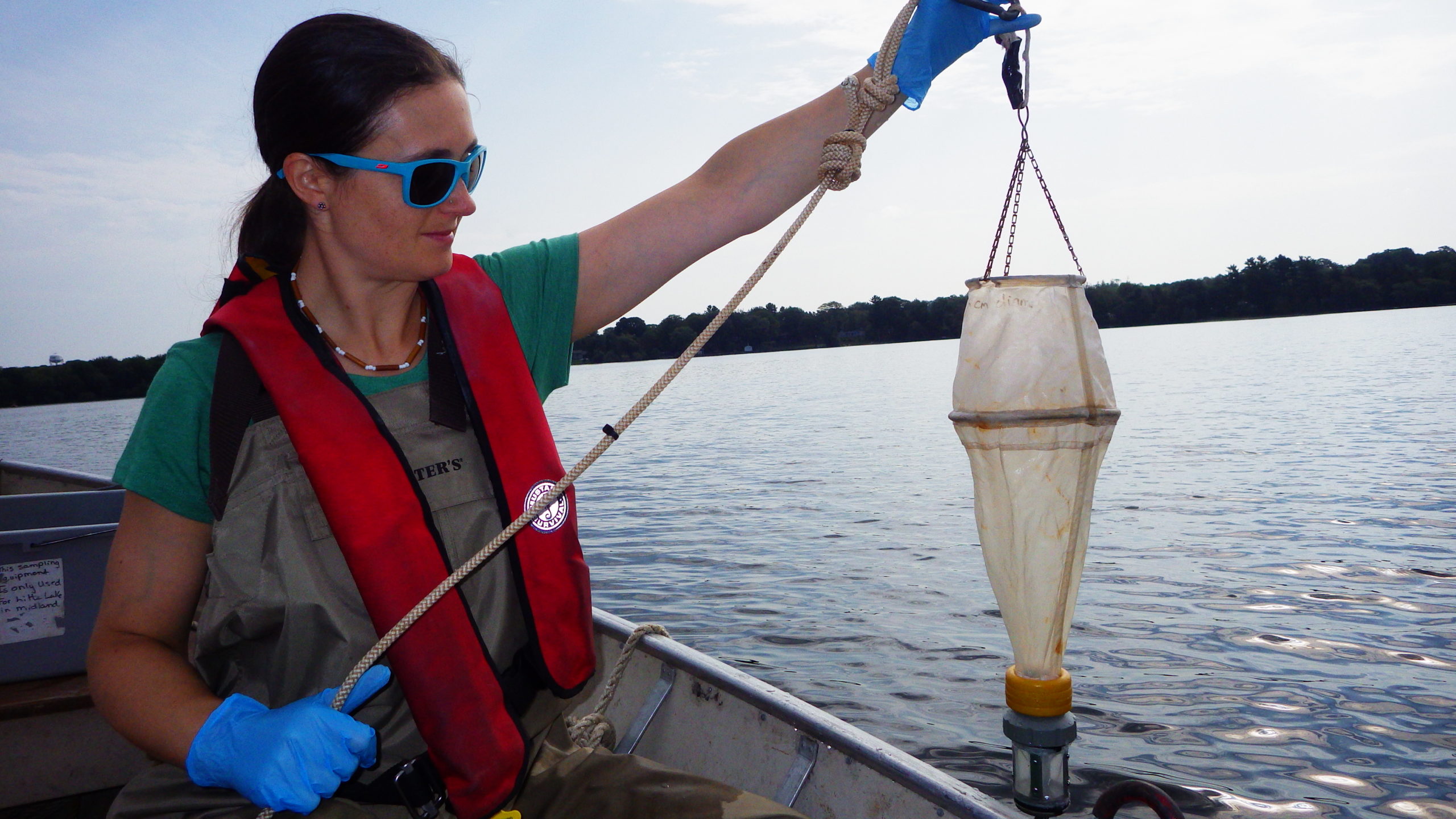
SSEA conducted zooplankton and algae sampling as part of routine lake monitoring to characterize lower food webs, determine nutrient status and examine trends. Once analyses of the 40 zooplankton and 198 algae samples are complete, trends will be updated and shared with the community. To complement this monitoring, 13 lake sites were monitored by volunteers through the Shore Watch citizen science program - 157 data records were submitted detailing water quality, habitat and invasive species information. A webinar was given to volunteers on water quality conditions, including lower food webs, based on SSEA and citizen science data, and a guest speaker discussed the Lake Huron Lakewide Action and Management Plan. Citizen science data informs environmental reporting and guides stewardship priorities. This project engages the community to collect data, learn about their local environment and feel empowered to protect it, while providing valuable information for the Severn Sound watershed.

Nearest city or town: Tiny, Tay, Midland, Penetanguishene, Springwater, Oro-Medonte, Severn & Georgian Bay Township
Project start date: June 1, 2021

Project focus: Combination of Education, Restoration, and Monitoring
Project contact: Aisha Chiandet

Visit Project Website

Back to the Project List Share Your Project