The tall limestone cliffs and turquoise water of the Bruce Peninsula provide a variety of recreational opportunities for residents and visitors alike. Credit: Scott Parker
Sharing information on Best Management Practices is an important part of collaboration between the individuals, communities, watershed groups and governmental agencies at work for Lake Huron. Credit: BPBA
Exposed limestone bluffs at Cave Point, Bruce Peninsula.
Rocky islands of eastern Georgian Bay. Photo credit: Ellen Perschbacher
Southern Ontario agriculture along Lake Huron’s southeast shore. Credit: Daniel Holm Photography
Sand beach and dune complexes are found along the southeastern shores, such as those pictured here near Pinery Provincial Park. Credit: Daniel Holm Photography
Lake Huron waters support a thriving agricultural sector, particularly in the southeastern portion of the watershed. Credit: Daniel Holm Photography
Volunteers engaged in stream restoration efforts in a Lake Huron tributary. Photo credit: MSIA
Rocky islands of eastern Georgian Bay. Photo credit: Ellen Perschbacher
The St. Marys River flows from Lake Superior to Lake Huron, contributing 8 billion liters/hour to the receiving basin in Lake Huron. Photo credit: Mark Chambers

Central Algoma Living in Times of Climate Change

<< Back to project list

Central Algoma Living in Times of Climate Change
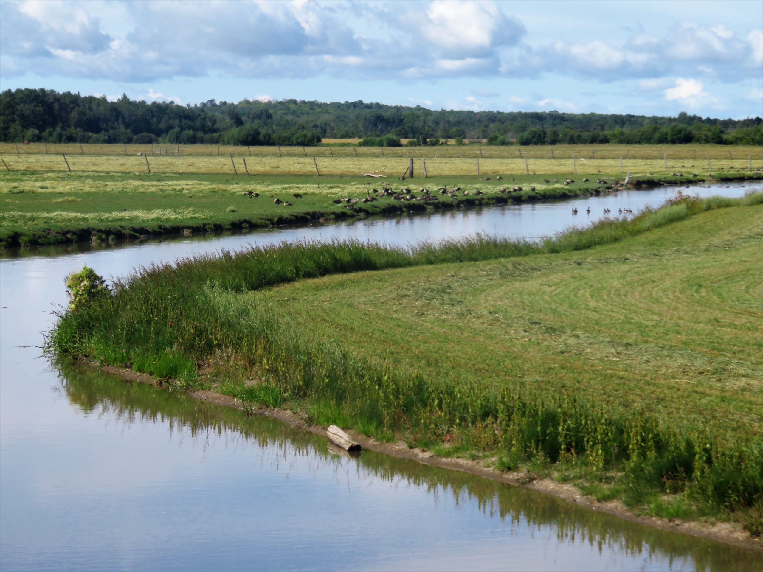
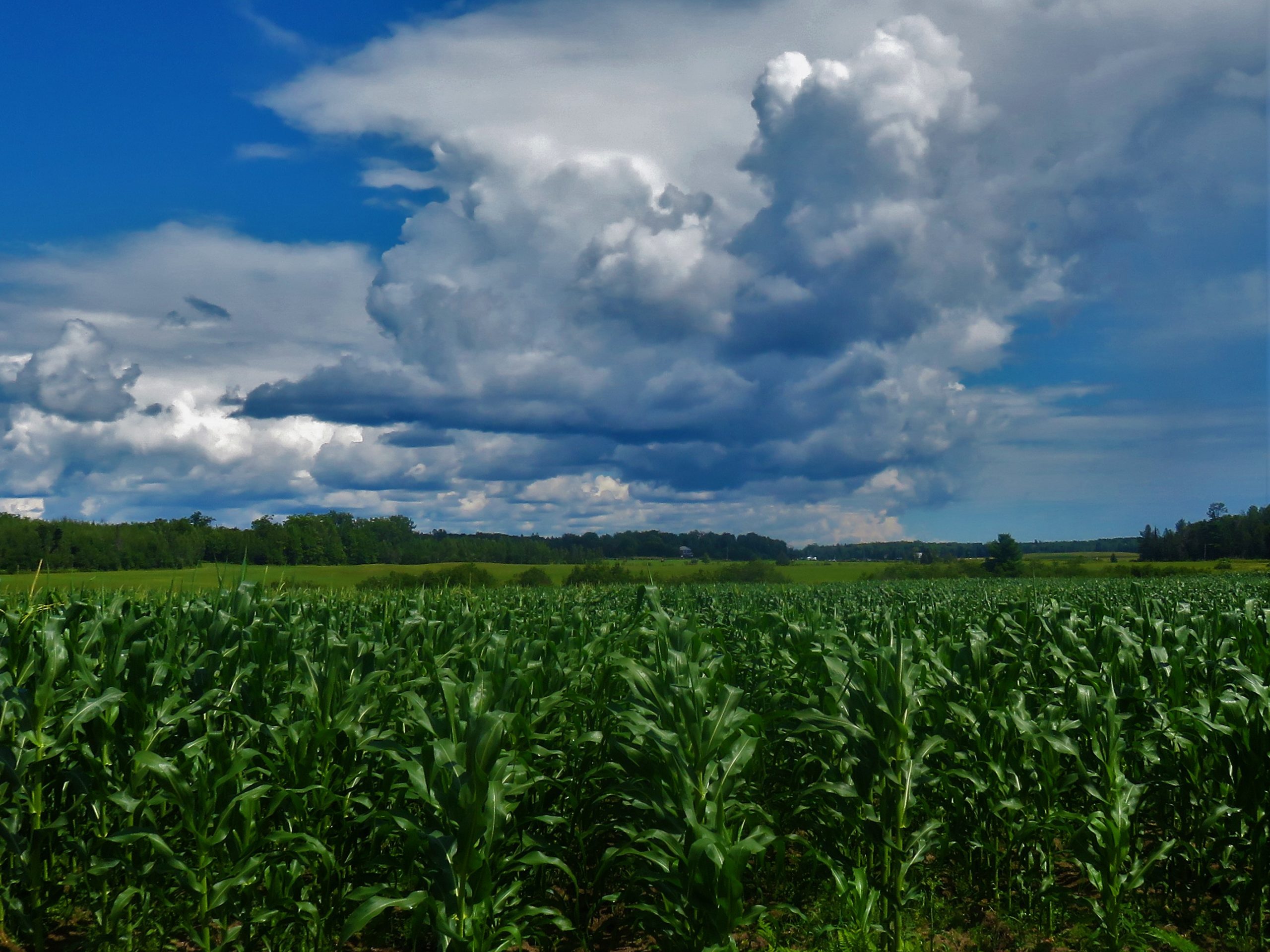
Talking about climate change can have a reverse effect; people can feel doomed and go out and buy more stuff – “might as well – doomed anyways". The Central Algoma Freshwater Coalition is developing a publication on climate change impacts and adaption 2022-2050 in the local area with an approach that raises topics that have solutions, options for action, and expresses appreciation for what we already have. A general introduction will highlight our thin layer of atmosphere and how amazing it is. The Great Lakes region will not face the same challenges as other areas. We will look at modelled changes in hot weather, freeze thaw days, temperature, precipitation, and agriculture (frost free days, last frost, first frost and growing days) (Source – www.climateatlas.ca). We will explore potential changes to Lake Huron and inland lakes, planning for storm intensity, human health, agriculture and winter and summer tourism.

Nearest city or town: Bruce Mines
Project start date: June 1, 2021
End date: March 31, 2022

Project focus: Education / Outreach
Project contact: Chuck Miller

Visit Project Website

Back to the Project List Share Your Project