Lake Huron South East Shores Region
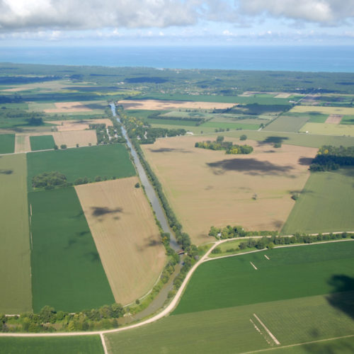
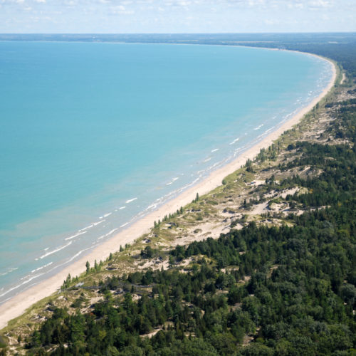
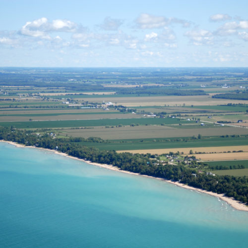
The Southeast Shores of Lake Huron run from Sauble Beach down to Sarnia and include some of the best sandy beaches. Although closest to the larger urban centres of southern Ontario; this region also has some of the most intensive agriculture operations in the area. One of the most unique features of this region, the Carolinian Zone, is found south of Grand Ben, and contains numerous rare plants and animals, in addition to the Pinery Provincial Park which contains the globally rare Oak Savannah and freshwater coastal dunes ecosystems. Communities along the southeast shores of Lake Huron are working together to balance ecosystem objectives with a very important economic agricultural landscape.
Healthy Lake Huron – Clean Water, Clean Beaches
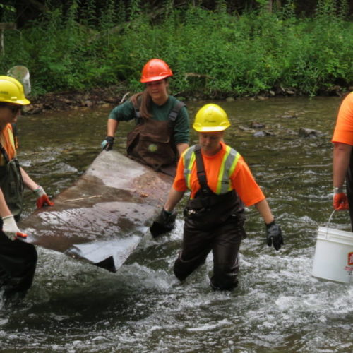
A team of dedicated environmental professionals joined together in 2011 to coordinate actions aimed at improving overall water quality along the southeast shores of Lake Huron. This group is leading the Healthy Lake Huron – Clean Water, Clean Beaches campaign, a concerted effort to address nuisance algae concerns and to promote safe and clean beaches and shorelines from Sarnia to Tobermory.
Five key watersheds have been identified as priorities for immediate action. The group is now working together with local partners to develop and support the implementation of watershed management plans, with specific targeted actions, as well as monitoring and research needs, for each priority area.
Visit: www.healthylakehuron.ca
Map of priority watersheds in the south-east shore.
Annual Summary Reports
Pine River (Pine River Watershed Initiative Network)
Garvey Glenn (Maitland Valley Conservation Authority)
North Bayfield (Ausable Bayfield Conservation Authority)
Main Bayfield (Ausable Bayfield Conservation Authority)
- Healthy Headwaters Initiative – 2016 Year End Summary
Lambton Shores Tributaries (St. Clair Region Conservation Authority)
- Beaver River Initiative – 2016 Year End Summary
- Lambton Shores – 2016 Year End Summary
